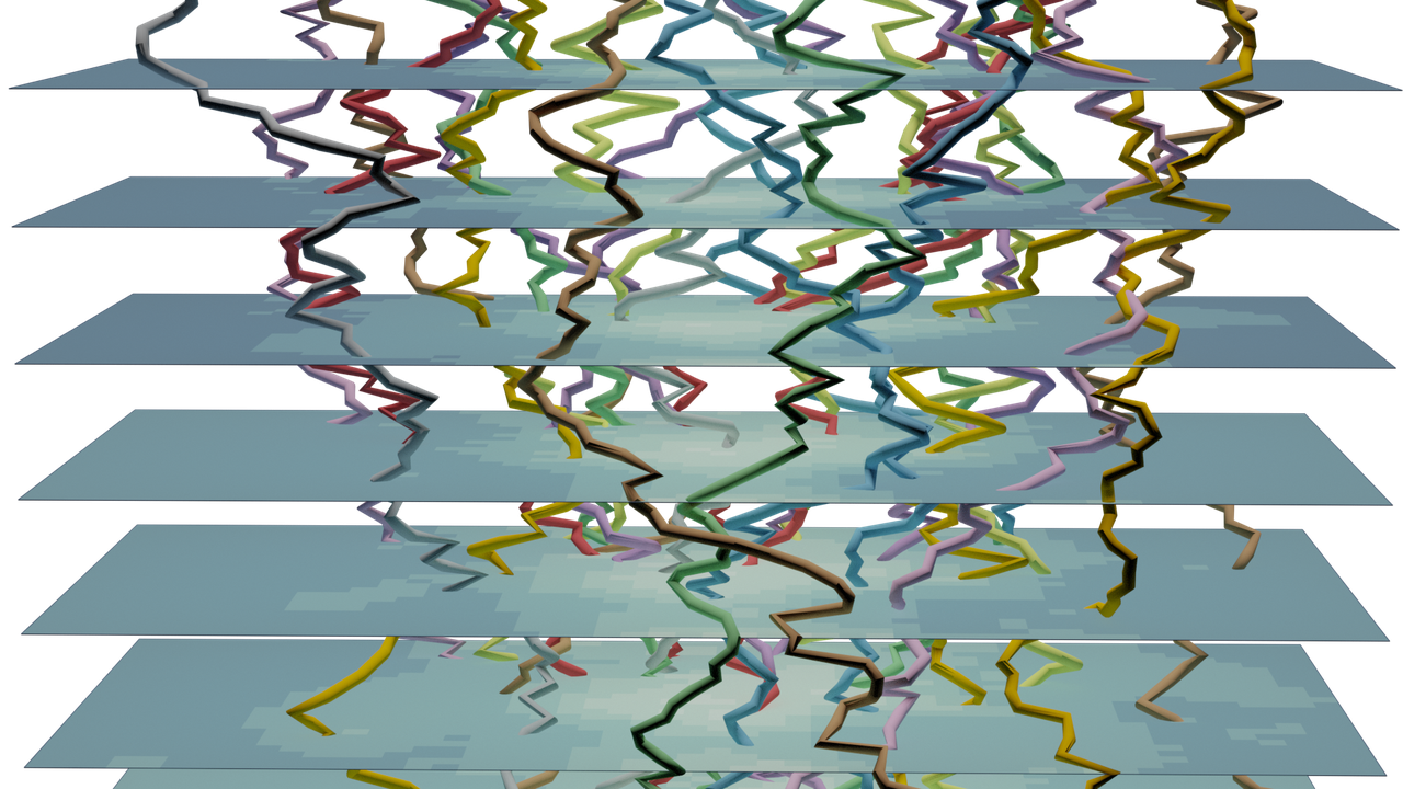
With the LUE software you can represent and numerically simulate geographical systems. Model developers can develop models using a syntax that looks very similar to map algebra, in either Python or C++. Given such a model, they can simulate real-world geographical systems with a large extent and at high resolutions. LUE models can be executed on small laptops and on large cluster partitions.
LUE is the result of multiple research projects performed by the Computational Geography group at Utrecht University in The Netherlands. One of the focus areas of this group is to improve on the concepts and design of numerical simulation frameworks for geographical systems, with respect to their functionality and performance.
LUE supports both agent-based and field-based modelling of geographical systems, with the support for field-based modelling currently being the most mature.
The Community section contains information about how get in touch with the people behind the project and the means to stay up to date about new developments.

Latest blog posts:
- 2025-10-20 12:06 EGU 2026 session about high-performance computation in the geosciences
- 2025-09-08 12:04 Support for Python 3.14
- 2025-08-12 08:26 Release of version 0.3.10
- 2024-12-10 16:13 Install the LUE Conda package (screencast)
- 2024-12-05 14:05 Release of version 0.3.9
Related information about LUE can be found on these other sites:
https://campo.computationalgeography.org: Campo modelling framework, which uses LUE
https://www.computationalgeography.org: Computational Geography group, of which the LUE developers are a member
LUE is an acronym for "Life, the Universe and Everything". It can be pronounced as the French pronounce the name Louis (LU-EE).